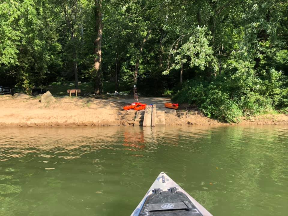
The Queen Shoals public access point is nearly 4 miles northeast of Clendenin on State Route 4 near the Queen Road bridge that crosses the Elk River. The access point includes a concrete ramp and steps for transporting small boats including canoes and kayaks. The bank along the Elk River is level and includes a sand bar where people often swim.
The Queen Shoals location includes eight parking spots on a dirt lot. The road is not rough with both cars and trucks often parked on the lot. Additional parking is available at the top of the embankment next to River Haven Road and is just a short walk down the gravel road to the river. The public access site is managed by the WV DNR.
Directions to Queen Shoals River Access from Charleston: Take I-79 North to exit 19 Clendenin. Turn right onto 119 South toward Clendenin for 0.3 miles. When the road ends in Clendenin, turn left onto State Route 4 and follow it for 4 miles until you reach Queen Road on your right. Turn right to cross the bridge, then make an immediate left turn onto River Haven Road. The location is on your left down the embankment next to the river.